We publish methods, sources, findings, and limitations so readers can see what a system observed and what still needs field validation.
Source: Sentinel-2 imagery processed with Google Earth Engine for a technical demonstration. Composite imagery does not verify on-the-ground conditions.TECHNICAL DEMONSTRATION · NOT AN AGRONOMIC ASSESSMENT
REMOTE OBSERVATION · CHISHANG, TAIWAN
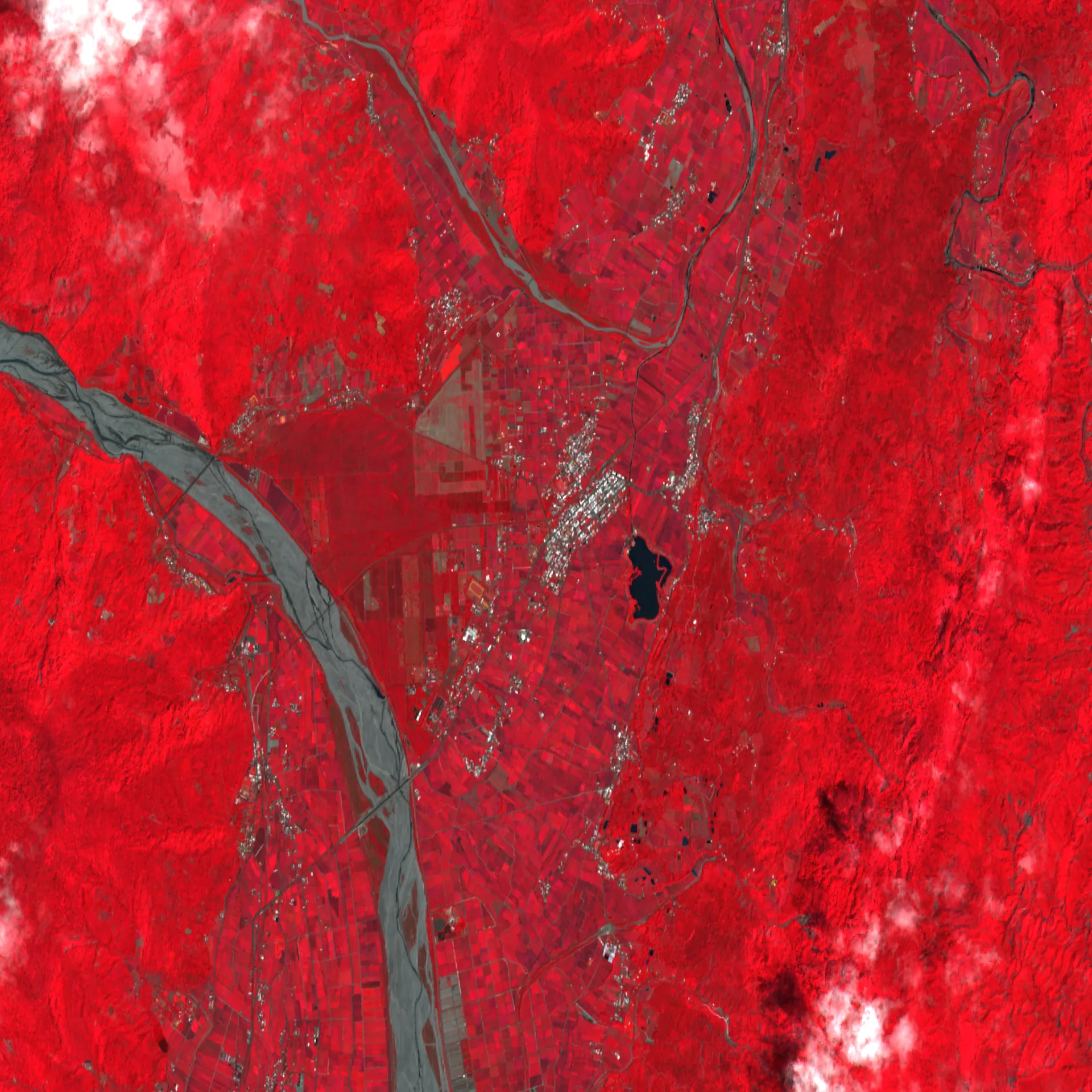
Chishang satellite observation example
A technical demonstration using Sentinel-2 imagery over rice-growing land in Chishang, Taiwan.
What this example shows
A true-color satellite composite and a false-color vegetation-index view
Relative remote-sensing signals over the Chishang demonstration area
Source family: Sentinel-2 imagery processed with Google Earth Engine
Limits: satellite indicators are not ground truth and do not establish crop condition, yield, loss, or economic impact
METHOD NOTES
What we are investigating
Institutional information, agricultural operations, and human-centered systems each require different evidence and review. New research will be added with its question, method, source record, update date, and limitations.
An individual-centered research perspective
Zereo’s personal essay examines what psychology can learn from within-person change, life context, and uncertainty. It distinguishes established evidence from a proposed research direction.